Chapter IV
The Biosphere
Matrix
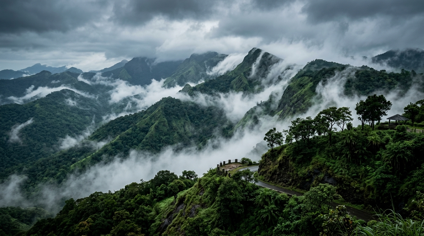
Attappady is not merely a forest; it is a critical geographical transition zone. Bordering the Silent Valley National Park, it functions as an irreplaceable ecological corridor within the Nilgiri Biosphere Reserve, sustaining some of the highest levels of biodiversity on the Indian subcontinent.
Silent Valley
Ecological Age
~50 Million Years
Key Species
Lion-Tailed Macaque
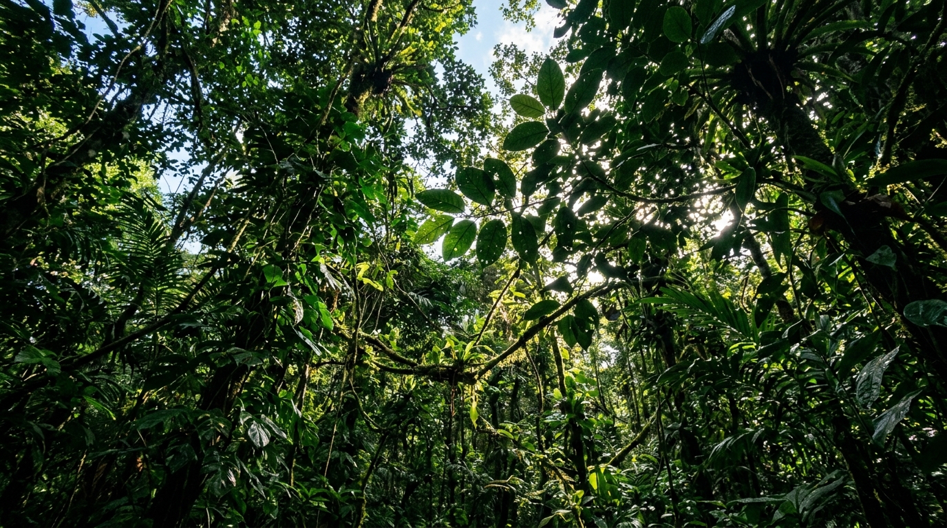
Flanking Attappady to the west lies the Silent Valley National Park. Spanning an area of roughly 237 square kilometers, it is one of the last undisturbed tracts of South Western Ghats montane rain forests and tropical moist evergreen forest in India. The valley derives its name from the perceived absence of the cicada insects that typically provide the deafening acoustic backdrop to most tropical rainforests.
The ecological significance of Silent Valley cannot be overstated. It is an evolutionary crucible, isolated for roughly 50 million years, leading to immense endemism. The forest canopy is dominated by the Cullenia exarillata tree, which provides the primary food source for the highly endangered Lion-Tailed Macaque (Macaca silenus). Other critical species include the Nilgiri Langur, Malabar Giant Squirrel, and the elusive Nilgiri Tahr inhabiting the higher montane grasslands.
Attappady, particularly the settlement of Mukkali, serves as the primary buffer zone and gateway to this primeval forest. The health of Silent Valley is deeply tethered to the ecological practices within the Attappady valley; deforestation in the buffer zones creates catastrophic edge effects that threaten the deeply specialized flora and fauna within the core reserve.
The Bhavani River
Source
Nilgiri Hills
Tributaries
Siruvani, Kundah
The Bhavani River is the indisputable hydrological and spiritual lifeline of the Attappady valley. Originating in the upper reaches of the Nilgiri hills, it carves a tumultuous path through the steep gorges of the Western Ghats before meandering through the midland plains of Attappady. It is one of the few rivers in Kerala that flows east, eventually merging with the Cauvery River in Tamil Nadu.
For the indigenous communities, the Bhavani and its tributary, the Siruvani, are not merely water sources; they are sacred entities. Their settlements, their agricultural cycles, and their ritual calendars are all oriented around the river's flow and seasonal floods. The river basin supports dense riparian forests, acting as vital wildlife corridors for herds of Asiatic elephants migrating between the Kerala and Tamil Nadu borders.
However, the Bhavani basin has been the site of intense ecological conflict. The massive deforestation of the 1970s and 80s led to severe soil erosion, choking the riverbed with silt and drastically reducing the flow during the summer months. Furthermore, the construction of infrastructure like the Siruvani Dam has frequently threatened the delicate hydrological balance that the downstream flora and fauna—and the indigenous farmers—depend upon.
Rugged Topography
Elevation Range
750m - 2000m+
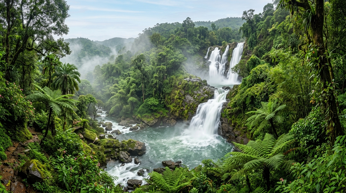
The sheer verticality of Attappady dictates its ecology. The steep escarpments create rapid changes in altitude, resulting in a condensed diversity of ecosystems. Within a span of a few kilometers, one can transition from scrub jungles into dense deciduous forests, up through wet evergreen Shola tracts, and finally into the high-altitude rolling grasslands (Medu).
This jagged topography is also responsible for the valley's spectacular hydrology. The steep drops create numerous breathtaking cascades during the monsoon season. Waterfalls such as Meenvallam, Koomankundu, and Pathrakadavu are not just scenic anomalies; they are highly oxygenated aquatic environments supporting unique species of endemic loaches and amphibians adapted to torrential flows.
The high peaks, particularly the sacred Malleeswaran Peak, act as massive geographical barriers. They intercept the moisture-laden winds of the Southwest Monsoon, ensuring that the western slopes receive torrential rainfall, while the eastern reaches toward Agali and Pudur lie in a distinct rain shadow, characterized by much drier, thorny vegetation.
The Rain Shadow
Meteorology
Orographic Lift
Eastern Biome
Dry Deciduous & Scrub
Attappady is a textbook example of a macro-level rain shadow effect. The towering peaks of the Nilgiris force the moisture-heavy Southwest Monsoon winds to rise and cool (orographic lift), dumping immense volumes of rain on the western facing slopes—creating the lush, impenetrable evergreen forests of Silent Valley.
However, as these winds cross the peaks and descend into the eastern portions of the Attappady valley towards Tamil Nadu, they are stripped of their moisture and become warm and dry. This creates a stark, dramatic shift in the biome. Within a mere 20-kilometer transect, the landscape transforms from dripping rainforest to arid, thorny scrub jungle and dry deciduous forest.
This meteorological duality is the reason for Attappady's incredible biodiversity. The valley contains species adapted to extreme rainfall living just miles away from species adapted to prolonged drought. It also dictates human settlement; the Adivasis historically utilized this entire gradient, foraging in the wet high altitudes and cultivating drought-resistant millets in the dry rain shadow.
Avian & Reptilian Life
Flagship Bird
Great Hornbill
Apex Reptile
King Cobra (Ophiophagus hannah)
While the mammalian megafauna like elephants and tigers draw the most attention, the true depth of Attappady's biodiversity lies in its avian and reptilian populations. The canopy is home to the majestic Great Indian Hornbill, whose massive wings produce a distinctive "whooshing" sound echoing through the valleys. These birds are crucial seed dispersers for the massive fruiting trees of the primary forest.
The forest floor and undergrowth are the domain of an incredibly diverse reptilian ecosystem. The region is a stronghold for the King Cobra, the world's longest venomous snake, which thrives in the dense bamboo thickets and stream beds. The leaf litter is also teeming with endemic, highly specialized amphibians, including the Purple Frog (Nasikabatrachus sahyadrensis), a living fossil that spends most of its life underground, emerging only briefly during the monsoon to breed.
The skies above the high-altitude grasslands are patrolled by raptors like the Black Eagle and the Shaheen Falcon. The sheer density and endemism of these species make Attappady and the adjoining Silent Valley a globally recognized hot-spot for biological research and conservation.
Modern Ecological Threats
Invasive Species
Lantana camara, Senna spectabilis
Industrial Impact
Granite Quarrying
Despite its inclusion in the Nilgiri Biosphere Reserve, Attappady faces severe, cascading ecological threats. Beyond historical deforestation, the modern landscape is being choked by aggressive invasive species. Weeds like Lantana camara and trees like Senna spectabilis are rapidly outcompeting native flora, destroying the undergrowth that herbivores depend upon, which in turn drives elephants and boars into human settlements searching for food.
The physical landscape is also under assault from unregulated granite quarrying. The extraction of stone from the fragile, steep hillsides destabilizes the terrain, directly causing the devastating landslides that have increasingly plagued the region during recent monsoons. Furthermore, the dust and noise pollution from these quarries severely disrupt the breeding patterns of local wildlife.
Looming over all these local issues is the macro-threat of climate change. The carefully calibrated agricultural and ritual cycles of the Adivasis are based on highly predictable monsoon patterns. As the monsoons become increasingly erratic—bringing prolonged droughts followed by catastrophic, concentrated rainfall—the fundamental ecological rhythms of the valley are being violently disrupted.